Various modelling scenarios
Property Risk Scores, from 2020 to 2100, based on all major emission scenarios.
Quantify change in climate risks across all future scenarios and time periods

Climate Risk Scoring in brief
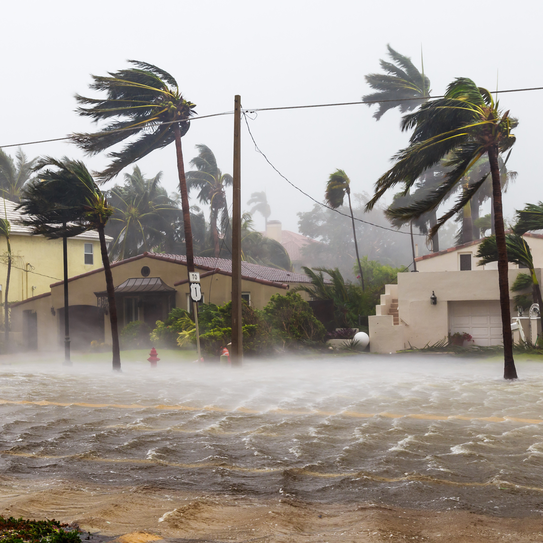
Twinn is leading the way in the development of future facing climate change physical risk data which consider the full range of emissions scenarios and considers climate outcomes across a range of time epochs.
Climate risk scoring simplifies the process of determining sensitivity to change and achieving regulatory compliance by removing the challenges of working with highly dimensional large datasets.
We can provide climate scores for any level of exposure aggregation (property, postcode/ district, country) and hazard aggregation (individual hazard, hazard type or all combined). This enables easy identification and comparison of climate risks across multiple assets or geographical locations.
Our instantaneous online platform or API systems enhance our customers ability to work efficiently and cost effectively.
Our unique approach means that future risks can be quantified for any given year or across any required timeframe. This important innovation means that any organisation can consider each risk based on the exact duration of an investment, mortgage, or insurance policy.