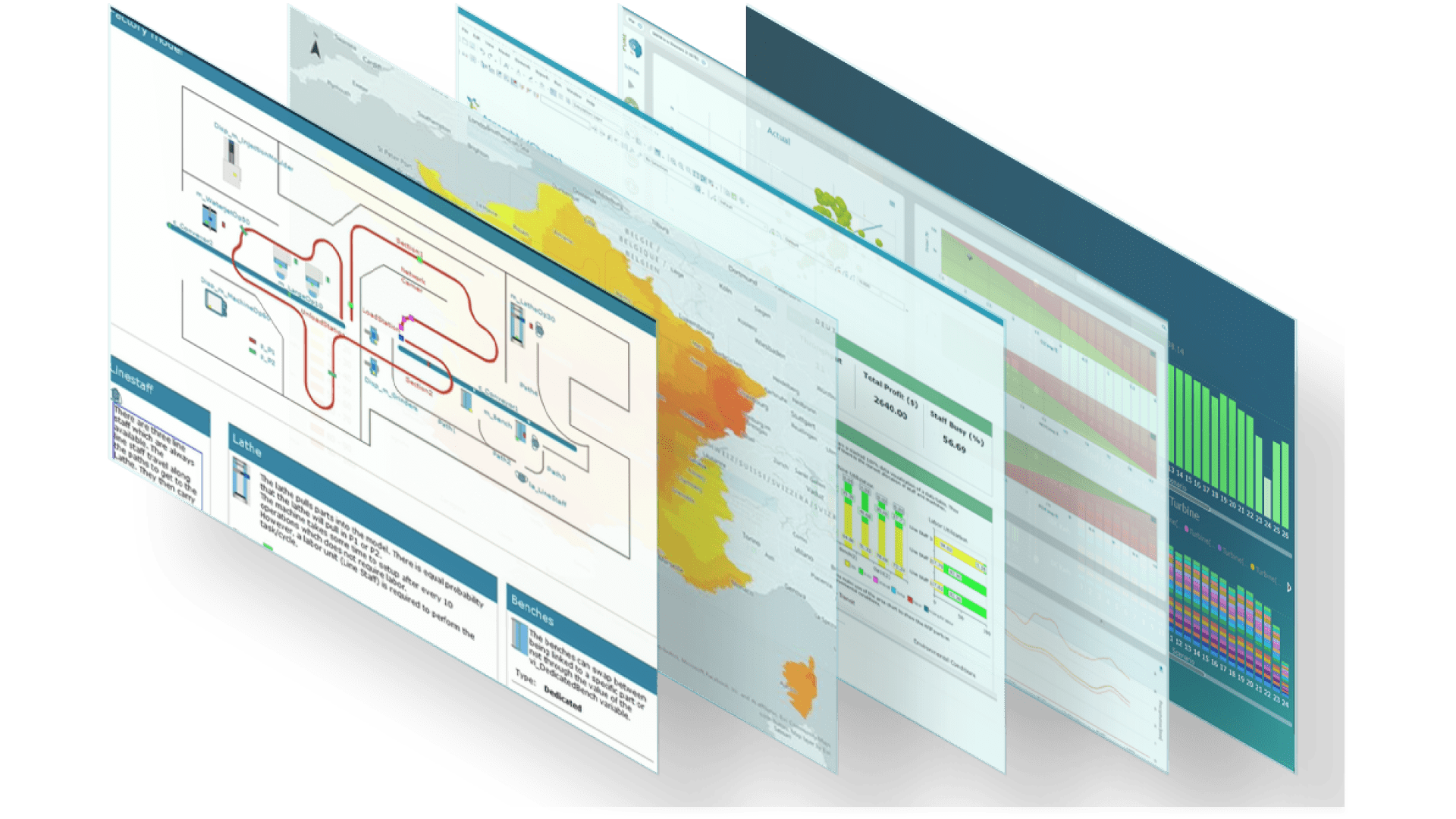
Miranda de Ebro FloodScore visualisation

ESRI Spain and Ambiental partnership brings ArcGIS users increased data insights into climate change risk

In News by Stephanie Brain

ESRI Spain and
Ambiental partnership

ESRI Spain and Ambiental Risk Analytics partnership brings ArcGIS users increased data insights into climate change risk

Ambiental has partnered with ESRI Spain, a leading company in location intelligence. The collaboration will enhance the ArcGIS platform with joint solutions for advanced predictive models, to support users in better understanding and predicting the location and impact of all kinds of floods, in order to prevent damage and calculate risks to property, people and businesses.

The integration of Ambiental’s solutions (FloodMap, FloodScore and FloodScore Climate) into Esri's ArcGIS geospatial data analysis platform, will enable users to develop advanced flood models to analyse risks arising from the effect of climate change. The resulting models brings users multiple benefits:

  • the ability to design better containment plans
  • a better operational view during episodes of flooding or torrential rain
  • opportunities for identifying which assets and properties present the greatest risk (with up to 5 metre resolution)
  • improved ways for efficiently managing real estate assets and determining their status and level of risk to natural hazards
  • among other applications.
Spain FloodScore

Miranda de Ebro

Miranda de ebro floodscore

Visit the ESRI Spain website to read the Spanish version of this release
Learn More


These models can be applied to all types of flood risks, whether they are of pluvial, fluvial, coastal origin or a mix. In addition, the solution can be applied to analyze both the most immediate risks and to develop predictive models for years to come, for any possible scenario, from the best case to the worst, or the most probable, to protect properties, real estate, farmland and any other asset or employees and field operators.

Jaime Nieves, Head of Services and Geospatial Data at Esri Spain said: “Flooding is one of the greatest risks of natural origin in Spain and, unless we act, these risks will only increase due to the effect of climate change. The available public data does not offer enough spatial or temporal detail to carry out a detailed assessment of business risk, so we hope to contribute with this integration to help companies, public administrations and users in general to be better prepared”.

Rob Carling, Channel Sales Manager at Ambiental Risk Analytics, commented: "At the recent COP26 conference, President Pedro Sánchez announced that Spain would increase climate finance to 1.35 billion euros a year from 2025 onwards. As a result, we think the demand for climate data will grow significantly over the next few years. We are delighted to partner with the geospatial experts ESRI so their clients can quickly gain access to our high-resolution flood and climate data."

For more information contact Rob Carling, Channel Sales Manager:
rob.carling@rhdhv.com


Learn more about the regulatory expectations faced by European banks  and insurers.

Download

Climate Stress Testing Whitepaper
Download

Discover what Ambiental’s risk database of all UK properties is revealing about the current and future risk to properties built since 2009
An Analysis of UK Flood Risk to UK Properties Built Since 2009

Share this Post