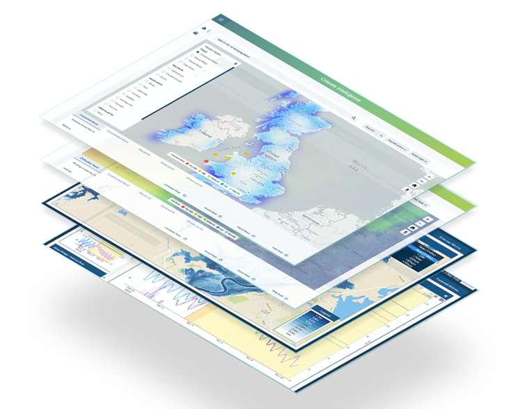
Flood Modelling

Flood Modelling


Flexible, robust models combined with high-quality data


We use our own, specially developed flood modelling software, Flowroute-i™, as the basis for our models, which can then be put to a variety of uses.


By using Flowroute-i, with the input of high-quality topographic and hydrological data, we can simulate flood events for cities and countries around the world. From this we generate flood maps and flood risk datasets. We also assess flood defences and help our customers to better understand and manage flood risk. In addition, we’ve developed a flood catastrophe model to help insurers, reinsurers and risk managers understand correlated risk.

Understanding flood risk in virtually any environment

Our dynamic flood model simulates the impact of rainfall, river and tidal water sources in complex environments, including mountainous regions and dense urban areas. For example, we can model what might happen if flood defences are breached or sewers overflow.

Another scenario might be if water is pumped out of the area or cannot escape. This makes our modelling exceptionally flexible and realistic. It gives our customers a far more precise and detailed understanding of risk, including the depth and velocity of water during flood events.

Modelling local, regional and national flood risk worldwide

We have access to high-quality geographic and flood data from around the globe, including pluvial (surface), fluvial (river) and tidal sources. This allows us to generate both local and national flood models for almost anywhere in the world. We create the models in line with global best practice and incorporate national or local guidelines specific to the geology or geography of the area.

Image
Aerial image showing flood model extent in South West England

Get a fast, no obligation quote from one of our expert flood risk consultants today.

Continually validating and refining our models

We continually review and check the effectiveness of our modelling techniques. Following the major 2007 flood in Hull, UK for example, we established new best-practice guidelines for predicting flooding in urban environments.

arrows

When we applied our model to the 2011 floods in Brisbane, Australia, we achieved 95% accuracy.

Hull UK Flood

UK Flood

Following the 2007 flood in Hull, the Association of British Insurers and the UK Environment Agency asked us to conduct research to determine best practice in predicting flooding in urban environments.

Read More
FloodMap

FloodMap

Flood modelling takes the long view of flood risk, assessing the potential consequences of various flood scenarios.


Read More
Costa Rica

Costa Rica

We provided specialised software and bespoke training for a team analysing the effects of flooding in Costa Rica.


Read More

Get a fast, no obligation quote from one of our expert flood risk consultants today.