FloodScore™ AAL Risk Rating Layers

FloodScore™ AAL Risk Rating Layers


Assess flood risk to individual properties across your portfolio


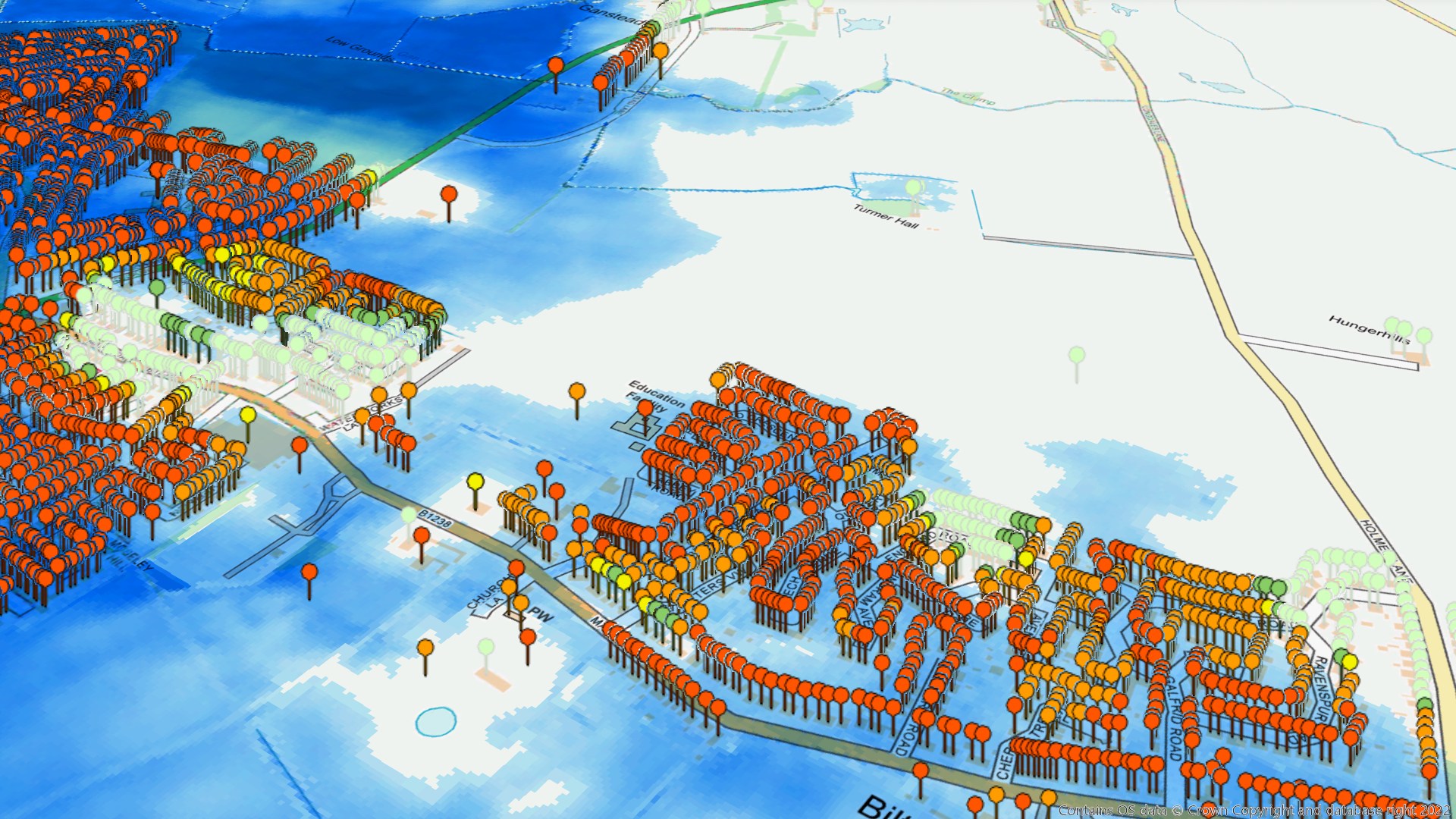
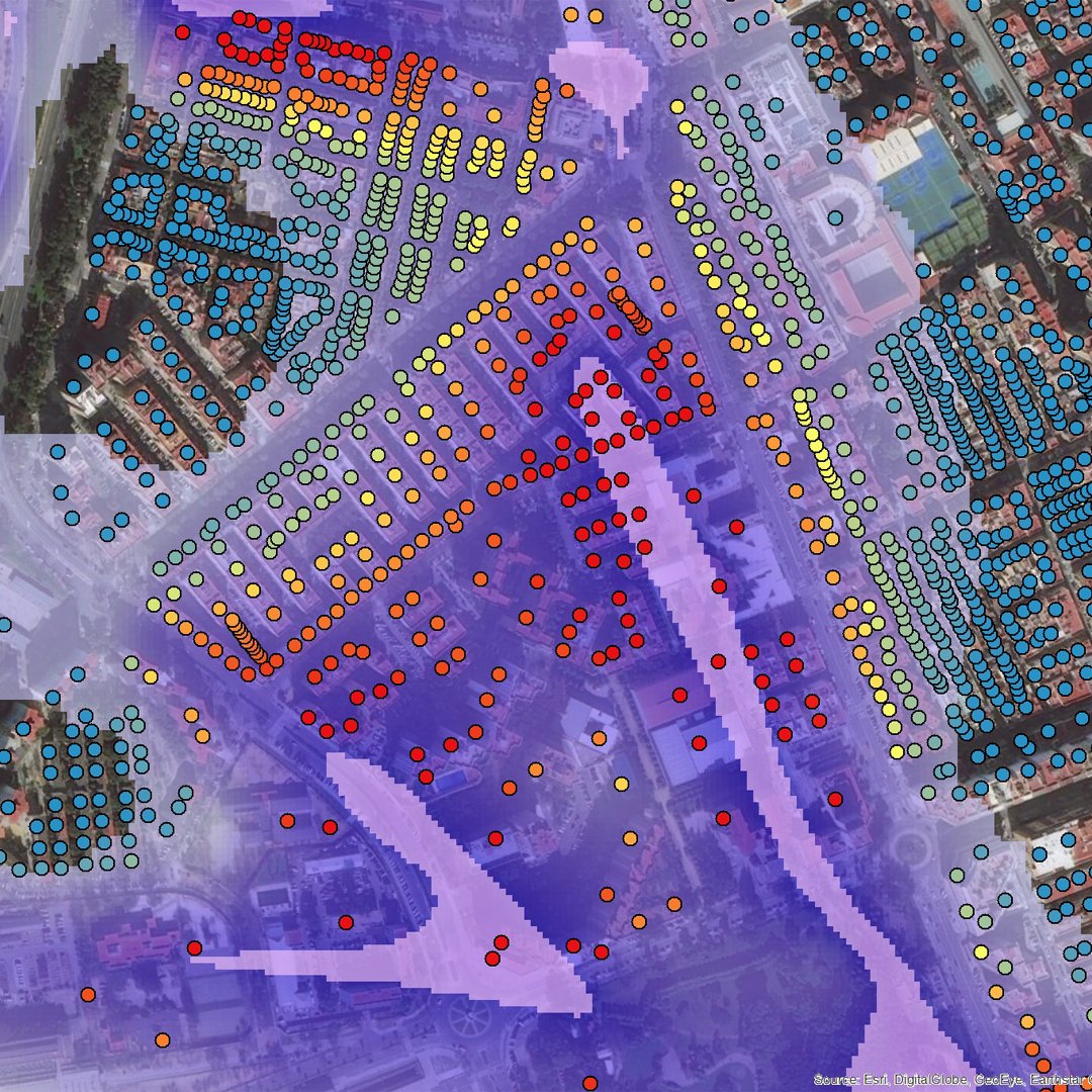
FloodScore™ AAL Risk Rating Layers enable you to visualise property-level AAL-based flood risk ratings, and integrate them with your GIS systems for advanced flood risk assessment.

At a Glance

search glass
  • Provides an easy-to-compare AAL-based flood risk score at a 5m horizontal grid resolution
  • Can be used for commercial and residential risk rating
  • Covers 100% of properties in Great Britain and Northern Ireland
  • Considers risk from rivers, tidal waters and rainfall
  • Based upon a range of return periods
  • Uses hydrological and 2D hydraulic modelling and LiDAR wherever available
  • Validated against actual flooding and claims data from recent events
  • Regularly updated
  • Designed to support better Flood Receding decisions

FloodScore AAL Risk Rating Layers use the advanced flood modelling techniques developed for UKFloodMap4 ™. They incorporate the most current hydrology data from the Centre of Ecology & Hydrology, building stock data from Ordnance Survey, and the latest high-resolution LiDAR from the Environment Agency.

The AAL Risk Rating Layers are delivered as four layers: a layer for each of the three primary flood sources (tidal, surface, pluvial and fluvial) and a fourth layer which combines them. This makes it simple to consider specific flood sources in isolation, or get an aggregate view.

These layers show inundation extents, classified flood risk scores and average annual losses (AALs) at every location within the UK. They’re available as defended or undefended data layers. The risk scores and AALs are calculated from mean damage ratios and complex algorithms to provide a consistent flood score risk index.

We usually deliver the data in GIS raster format (typically compressed .tif or .img format), and it can be easily integrated into geospatial systems such as ESRI, LexisNexis and SpatialKey. We can also provide classified vector polygon and tabular look-up table versions. We can provide the data in British National Grid projection but also in other projections (eg WGS 1984). It can be used alongside council tax databases for enhanced portfolio and single-site analysis.

Request a free data sample to test

Benefits

search glass

  • Improved loss ratios
  • Better accumulation control
  • More consistent flood underwriting
  • Quicker and easier to assess flood risk

FloodScore™ Property API

FloodScore™ Postcode

FloodScore™ Postcode aggregates property-level flood risk data to produce a high-quality flood risk score for any UK postcode.

Read More
FloodScore™ Online

UK FloodScore™ 

A subscription-based online property-level flood data service. Includes flood risk scores for every property in the UK. API also available.

Read More
FloodScore™ Property Database

UK FloodMap4™

UKFloodMap4™ allows you to see and analyse flood hazards and flood depths for different flood sources and return periods.

Read More
arrows

Approximately 6 million properties are at risk from some form of flooding in the UK.


Get in Touch

To get a quote or to discuss what you need, contact Ted Bartholomeusz

Call me on 01273 006 966  Or email at ted.bartholomeusz@rhdhv.com