Easy integration
Risk scores can be provided as full / partial database files or served through our address-level APIs.
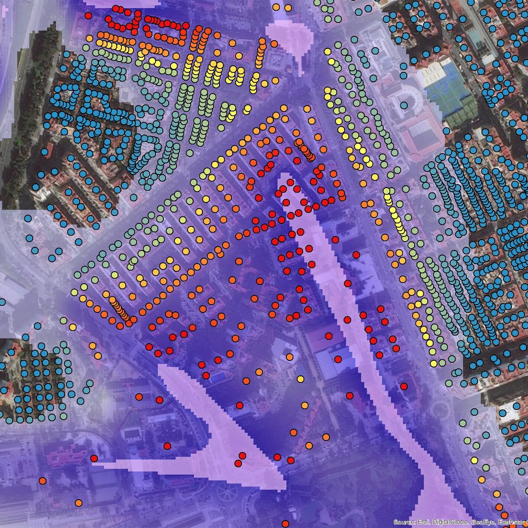
Quickly understand and quantify all physical risks to any property, anywhere in the world
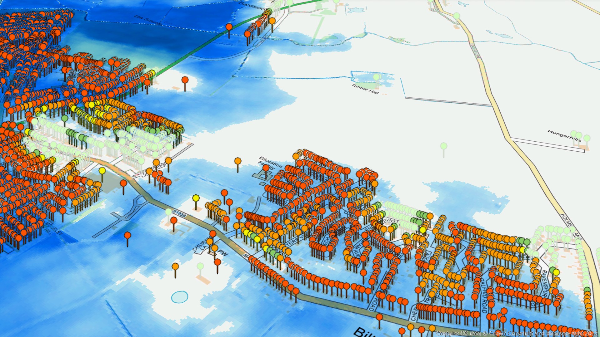
Risk Scores in brief
Risk Score provides property-level risk ratings and supplementary information for any property, anywhere in the world. This highly granular data can be used to quickly evaluate and quantify risk from all physical perils at a range of statistical return periods.
Risk Score uses Twinn’s advanced risk indexing algorithms and integrates the most complete and up-to-date hazard data available. It provides a consistent and convenient overall risk rating, for every hazard, whilst also providing insights into the underlying hazard parameters, e.g. flood depth, wind speed and more. It is available as a full or partial database, via our online risk checking service and as spatial layers.