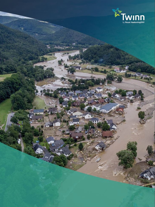
Financial Services - climate & hazard risk
Twinn combines data, software and domain expertise to help you navigate climate risk complexity in an efficient and compliant way – now and into the future.

Twinn is the global leader in physical climate risk assessment and analytics for financial services.
Banks, insurers, investment firms and asset managers use our data and insights in a range of key ways. For example, they use Twinn to help conduct climate risk screenings and assessments for specific locations – based on today’s physical risk profile and into the future for different time periods and under different climate scenarios. It also supports due diligence ahead of mortgage/ investment placements, risk acceptance permissions and consents to optimise green finance and investment deal structures.
Insurance and reinsurance companies use Twinn to get the detailed risk ratings and supplementary information they need to understand and price risk appropriately, helping them to avoid adverse claims and manage over-aggregation of adverse risks.
Our solutions go beyond risk assessment software. They’re based on proprietary IP developed over 20 years – and combine high-resolution data with advanced modelling, predictive analytics, machine learning and razor-sharp domain expertise. Not only does this make for more accurate climate risk scoring and management, but it also simplifies compliance and regulatory reporting.
"Twinn has fundamentally changed the mortgage market's understanding of flood risk exposure. 2 years ago, lenders wouldn't have known if their flood risk was 5% or 25%. Twinn's data has enabled us to support 35% of the market in quantifying their exposure."
Graham Gillespie, Head of Pre-sales Consultancy at Hometrack
What you can do with Twinn
Understand
Climate risk exposure so you can make informed decisions based on property or an asset’s actual risk profile
- Quantify risk exposure from hazards like flooding, coastal erosion and subsidence – down to individual property level – helping to manage physical risks and identify investment opportunities as well as risk prone properties and climate risk hotspots
- Get the insight needed to report on physical risks in your TCFD, financial disclosures and regulatory reports
Predict
Future climate scenarios that affect your portfolio, including the likelihood, severity and impact of climate events
- Calculate future risk profiles and financial impacts using Twinn’s granular natural hazard and climate data
- Improve your insurance or mortgage underwriting processes to account for future climate risks, so you can grow your portfolios sustainably and better support your customers
Prevent
Unnecessary losses, asset value depreciation and potential defaults
- Help yourself or your customers implement prevention measures that protect their properties – ultimately reducing climate impacts stemming from claims and depreciation
- Avoid anti-selection by using comprehensive and high-resolution hazard risk data, which also helps future-proof the business against the increasing threat of climate change litigation
Optimise
Your portfolio and decision-making using climate risk scoring and insights
- Improve product pricing and streamline approval processes with Twinn’s one-stop access to climate and natural hazard data
- Boost your climate readiness and resilience with deep-dive insight and benchmarking for potential climate impacts by sector, line of business and industry
 Whitepaper
Tackling Climate Risk
We examine the issues facing organisations as they look to employ climate data and advanced technology to understand the impact of climate change on their portfolios of physical assets. We reveal the results of our analysis of 10 lender portfolios to assess the scale of the problem for lenders.
 Whitepaper
Now or Never for Financial Services
When it comes to climate risk, a one-size-fits-all approach rarely works. We guide you on where to begin in your journey towards managing climate risk, and protecting your organisation's assets and operations.
 Whitepaper
Climate Stress Testing
An in-depth look at the regulations and opportunities facing European banks and insurers as they demonstrate their resilience to climate change through scenario modelling exercises involving planning and stress testing.