In this reseller focus, we look at our partnership with LexisNexis® Risk Solutions and how we work together to bring our cutting-edge data to a broad customer base within the United Kingdom and Ireland insurance sector.
Ambiental Risk Analytics works with a global network of trusted partners within our reseller programme. With a dedicated reseller management programme, Ambiental’s objective is to forge strong relationships with our resellers to offer best in class data solutions to their customers.
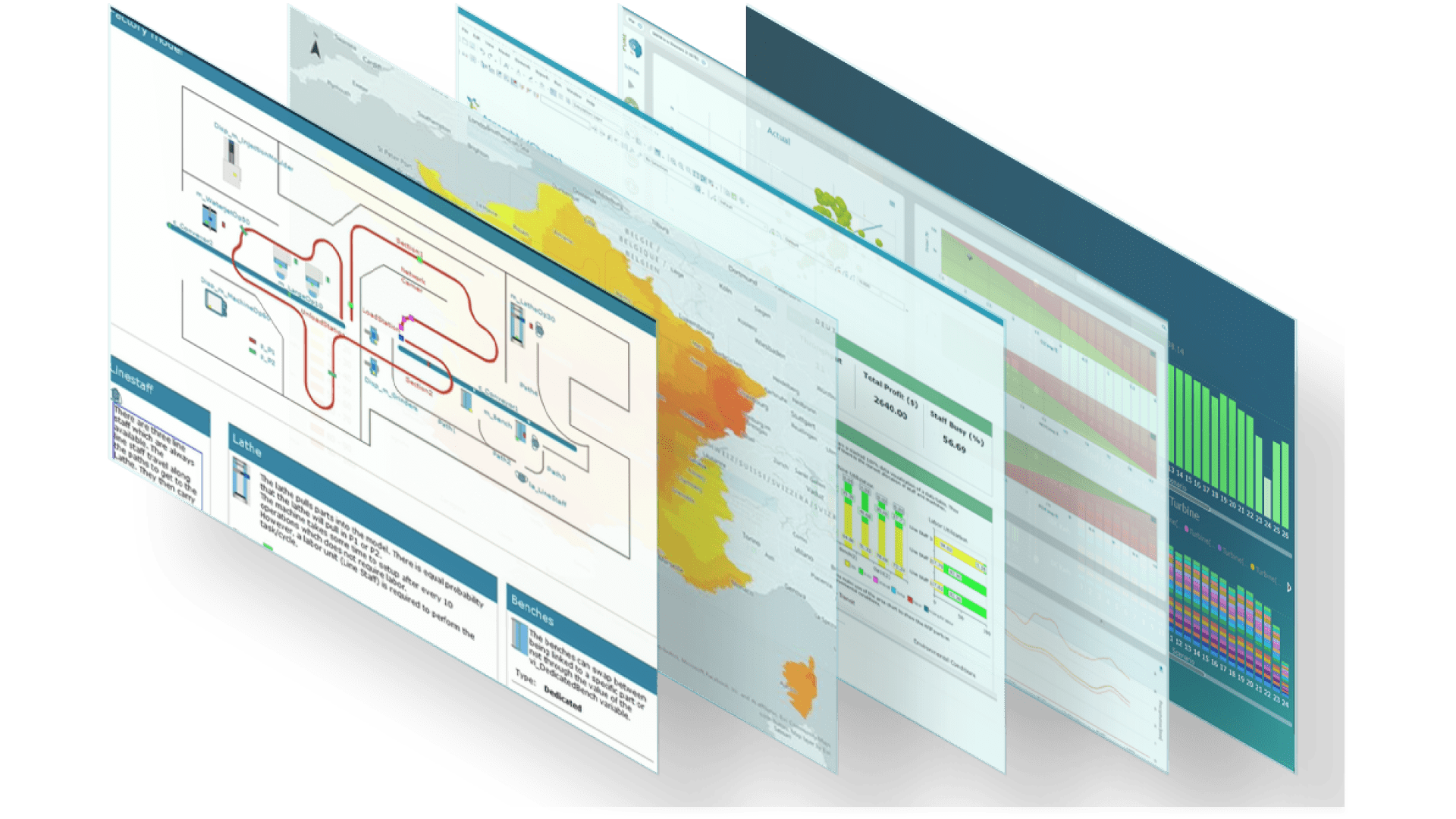
We have worked with LexisNexis for many years and have partnered with them to provide our UK flood data to some of the world's largest insurers. The Ambiental data is delivered through LexisNexis® Map View, a leading software platform for risk visualisation, developed for property insurance providers. This SaaS-based solution allows them to both assess and price risk more accurately, and manage exposure by providing visualisation of critical risk data, all combining to give insurers valuable insights into property-level risks and overall portfolio exposure to perils and accumulations.
Ambiental’s FloodScore database is easily deployed through LexisNexis Map View with property-level flood risk information for all properties within the UK and Northern Ireland linked to Ordnance Survey AddressBase and LPS Pointer. Using a unique property reference number (UPRN), Map View enables pricing and underwriting teams to quickly see the average annual loss (AAL) of a prospective property and the likelihood it will be flooded by water from fluvial, pluvial or tidal sources. The flood risk score is presented as an aggregated from 1-100, with an option to view the rating each flood type.
We also worked closely with LexisNexis to create bespoke spatial layers of our flood data so insurance providers can easily visualise our flood risk data using the Map View visualisation tool. These layers can be part of a bespoke data system which makes data accessible to all relevant departments for our insurance clients, from underwriters and actuaries to risk analysts and senior management.
"We work with many data providers, and we are pleased to offer Ambiental’s flood data as part of our perils suite within LexisNexis® Map View. We have found their customer support to be excellent, and they are an innovative business whose goals of improving property and location risk assessment align directly with ours."
Some of the many benefits of using LexisNexis® Map View along with Ambiental’s flood data include:-
- Aggregating flood risk data at the point of sale and point of quote allows insurance providers to make more accurate risk assessments at the property level.
- More accurate flood data leads to better risk assessment driving down rates, allowing for greater pricing accuracy.
- In turn, helping insurance providers to understand better their flood exposure hotspots for accumulations and perils, as well as optimise the risk profile of their property book.
"Our close working relationship with LexisNexis Risk Solutions helps us to deliver our highly accurate flood data on a trusted platform. It enables us to reach an extensive customer base in both the United Kingdon and Ireland while we focus on our core business; creating flood data. The hosting of our data through LexisNexis® Map View provides our insurance customers with easy access to our data and allows them to gain the full use of data with minimal investment."
To find out more about the availability of Ambiental’s UKFloodMap and FloodScoreTM on MapView or the reseller programme contact Rob Carling,
Email: Rob.Carling@ambientalrisk.com
Tel: 07957 374718
Share this Post